
Sequoia and Yosemite, June 2010
Tuolumne Meadows, Mono Lake, Waterfalls, And Abandoned Service Stations
Page 5 of 5
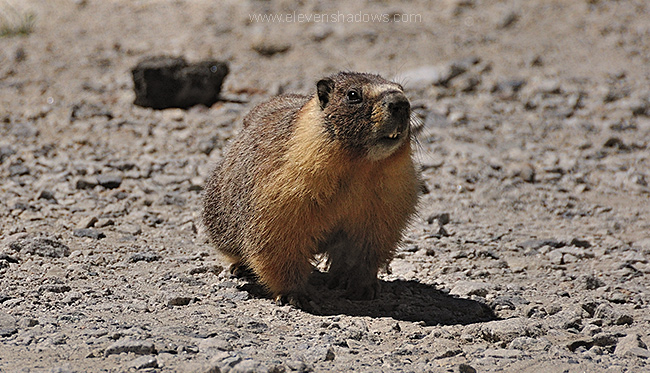 Our
latest furry friend was a yellow-bellied marmot, watching me take photos of
the surrounding lakes and mountains near Tuolumne Meadows in the back
country of Yosemite. Our
latest furry friend was a yellow-bellied marmot, watching me take photos of
the surrounding lakes and mountains near Tuolumne Meadows in the back
country of Yosemite. |
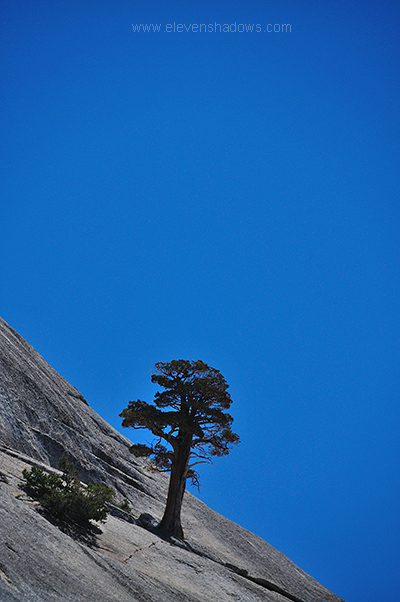 I
find trees growing from rock inspiring. I
find trees growing from rock inspiring.<insert
philosophical analogy here> |
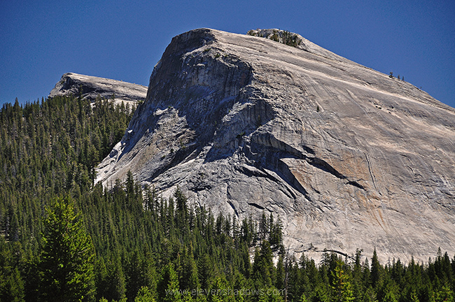 Lembert
Dome, overlooking Tuolumne Meadows. Lembert
Dome, overlooking Tuolumne Meadows. |
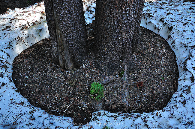 At
White Wolf campgrounds, Lisa and I walked along a trail leading to Lukens
Lake. We never made it. I didn't feel like wading through ice
water. The trail was quite damp from just-melted snow, and the
campsite was still closed. Still, it was a beautiful hike. At
White Wolf campgrounds, Lisa and I walked along a trail leading to Lukens
Lake. We never made it. I didn't feel like wading through ice
water. The trail was quite damp from just-melted snow, and the
campsite was still closed. Still, it was a beautiful hike. |
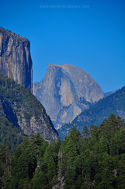 The
Half Dome, Yosemite, taken as we were returning from
Tuolumne Meadows after hiking near the White Wolf camping area. The
Half Dome, Yosemite, taken as we were returning from
Tuolumne Meadows after hiking near the White Wolf camping area. |
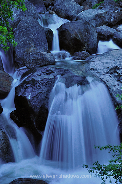 Cascade
Creek, Yosemite, one of the many beautiful waterfalls in Yosemite. I
used my Dad's old-school Sears tripod again for this photo, keeping the
Nikon D90's shutter open for probably about 1.6 seconds. I like the
softness that longer exposures add to waterfalls, although other
times I use fast exposures to capture the Merced River hurtling over rocks
in all its fury, such as the photo a little later in this page shows. Cascade
Creek, Yosemite, one of the many beautiful waterfalls in Yosemite. I
used my Dad's old-school Sears tripod again for this photo, keeping the
Nikon D90's shutter open for probably about 1.6 seconds. I like the
softness that longer exposures add to waterfalls, although other
times I use fast exposures to capture the Merced River hurtling over rocks
in all its fury, such as the photo a little later in this page shows. |
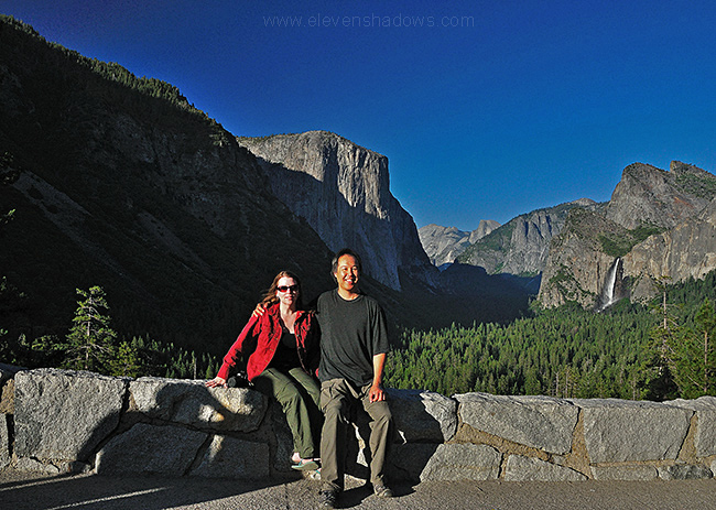 Lisa
and I stopped at Tunnel View again to see if the light was better. It
was a little harsh and hazy from some planned burning some miles away, but
still no less enjoyable. Lisa
and I stopped at Tunnel View again to see if the light was better. It
was a little harsh and hazy from some planned burning some miles away, but
still no less enjoyable. |
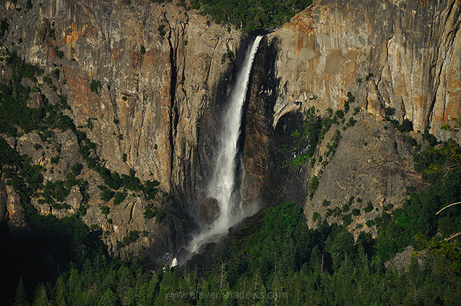 Bridalveil
Fall, Yosemite. Bridalveil Fall is 188 meters (617 ft) and flows year
round, flowing into the large valley that was originally carved by glacier. Bridalveil
Fall, Yosemite. Bridalveil Fall is 188 meters (617 ft) and flows year
round, flowing into the large valley that was originally carved by glacier. |
 Friday,
2 July 2010: Friday,
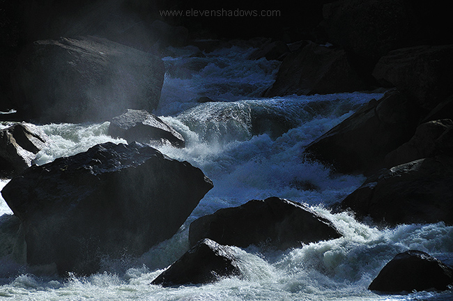
2 July 2010:We woke up a little later than usual, perhaps trying to prolong the trip, as this was our last day of the camping trip. We had seen gorgeous waterfalls, bears, deer, marmot, meadows, lakes, mountains, cliffs, scared 14-year old soccer players and more, and we didn't want it to end. After stuffing our belongings into the car, we drove along Hwy. 41, taking photos of the Merced River. |
 I
had decided to take the long way back, driving back through Yosemite Valley
and then up through Tuolumne Meadows, which we had seen yesterday. I
didn't want to drive back on the hot 99 Freeway, but I also had seen this
waterfall at the 16 mile marker of Tioga Road yesterday
and badly wanted to return to photograph it in the early morning, away from
the harsh rays of the afternoon sun. I
had decided to take the long way back, driving back through Yosemite Valley
and then up through Tuolumne Meadows, which we had seen yesterday. I
didn't want to drive back on the hot 99 Freeway, but I also had seen this
waterfall at the 16 mile marker of Tioga Road yesterday
and badly wanted to return to photograph it in the early morning, away from
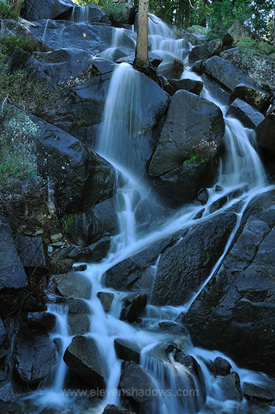
the harsh rays of the afternoon sun.As you've seen, I love beautiful waterfalls. And I love trees growing from rock. This has it all. I suppose the only way this could be more perfect is if a bear were ambling by. Or a soccer team from Downey. |
 Moon.
Rock. Trees. The elements converge in Tuolumne Meadows. Yeah. Moon.
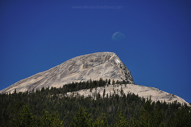
Rock. Trees. The elements converge in Tuolumne Meadows. Yeah. |
 We
drove out of Tuolumne Meadows. But our visits to
places was not quite done yet. Nosiree, we
spontaneously decided that we would stop by Mono Lake, thus prolonging our
trip even more. We
drove out of Tuolumne Meadows. But our visits to
places was not quite done yet. Nosiree, we
spontaneously decided that we would stop by Mono Lake, thus prolonging our
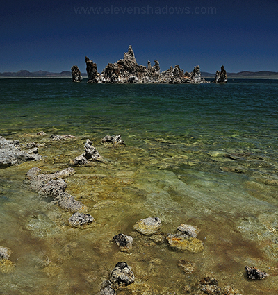
trip even more.
Here are the mysterious tufa towers of south Mono Lake, strange limestone rock formations that grow by underwater springs rich in calcium mixing with the lakewater rich in carbonates to chemically form limestone, creating towers of up to 30 ft. high that take decades or centuries to form while underwater. Wow. Now, I did say underwater. Because Mono Lake has been, until recently, receding due to us Los Angelenos taking water from the lake. But that apparently has reversed, and the lake will return to higher levels relatively soon, we are told. I was so taken with these formations that I didn't notice how long I was wandering around, getting slight sunburn from the hot noon desert sun. Mono Lake, I shall return. And next time, I will wear sunscreen. See an extra photo of the tufas here. |
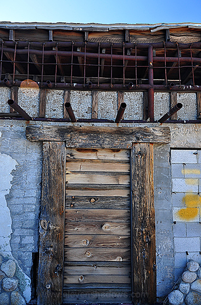 An
abandoned service station just south of Lone Pine, where we stopped off to
eat at Bonanza Mexican Restaurant, virtually under the shadow of Mt.
Whitney. To me, abandoned buildings have a certain charm. They seem to
evoke strong emotional responses. I wish they could tell you stories
of what was and what happened and what would have been. An
abandoned service station just south of Lone Pine, where we stopped off to
eat at Bonanza Mexican Restaurant, virtually under the shadow of Mt.
Whitney. To me, abandoned buildings have a certain charm. They seem to
evoke strong emotional responses. I wish they could tell you stories
of what was and what happened and what would have been.We had driven past this crumbling building in January when returning from Death Valley (photos here). I somehow remembered it and stopped when I saw it, leaving the car air conditioning running so Lisa would have some relief from the hot desert temperature while I ran around the station hurriedly taking photos. |
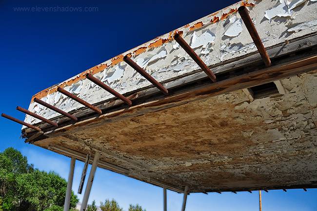 Another
view of the abandoned service station just south of Lone Pine, on our way
home from our camping trip from Yosemite and Sequoia. Another
view of the abandoned service station just south of Lone Pine, on our way
home from our camping trip from Yosemite and Sequoia.A trip full of sequoias, bears, marmots, deer, stone, waterfalls, cliffs, trees, lakes...and now, the abandoned structure of something man-made, just to ease us back in to urban existence. We continued rolling downhill on Highway 395, the craggy Sierras flanking us on the right until we drove through the Mojave, steadily rolling downhill to home to where our three-legged cat greeted us. All photos taken with my new Nikon D90 with 18-200mm VR lens. |
|
Yosemite and Sequoia :: photos by Ken Lee :: music by
TK Major
Yosemite and Sequoia :: photos by Ken Lee :: music by TK Major (from FaceBook in case YouTube doesn't stream) |
Sequoia and Yosemite, June 2010
Page 5 of 5
Eleven Shadows Travel Page
Contact photographer/musician Ken Lee